Delray Framework Plan
This framework plan was developed by the Planning and Development Department in partnership with ROSSETTI, BLD, BJH, WSP, and INTERFACE STUDIO. The goal is to provide a guide for the future development of the Delray neighborhood.
Community Outreach & Engagement
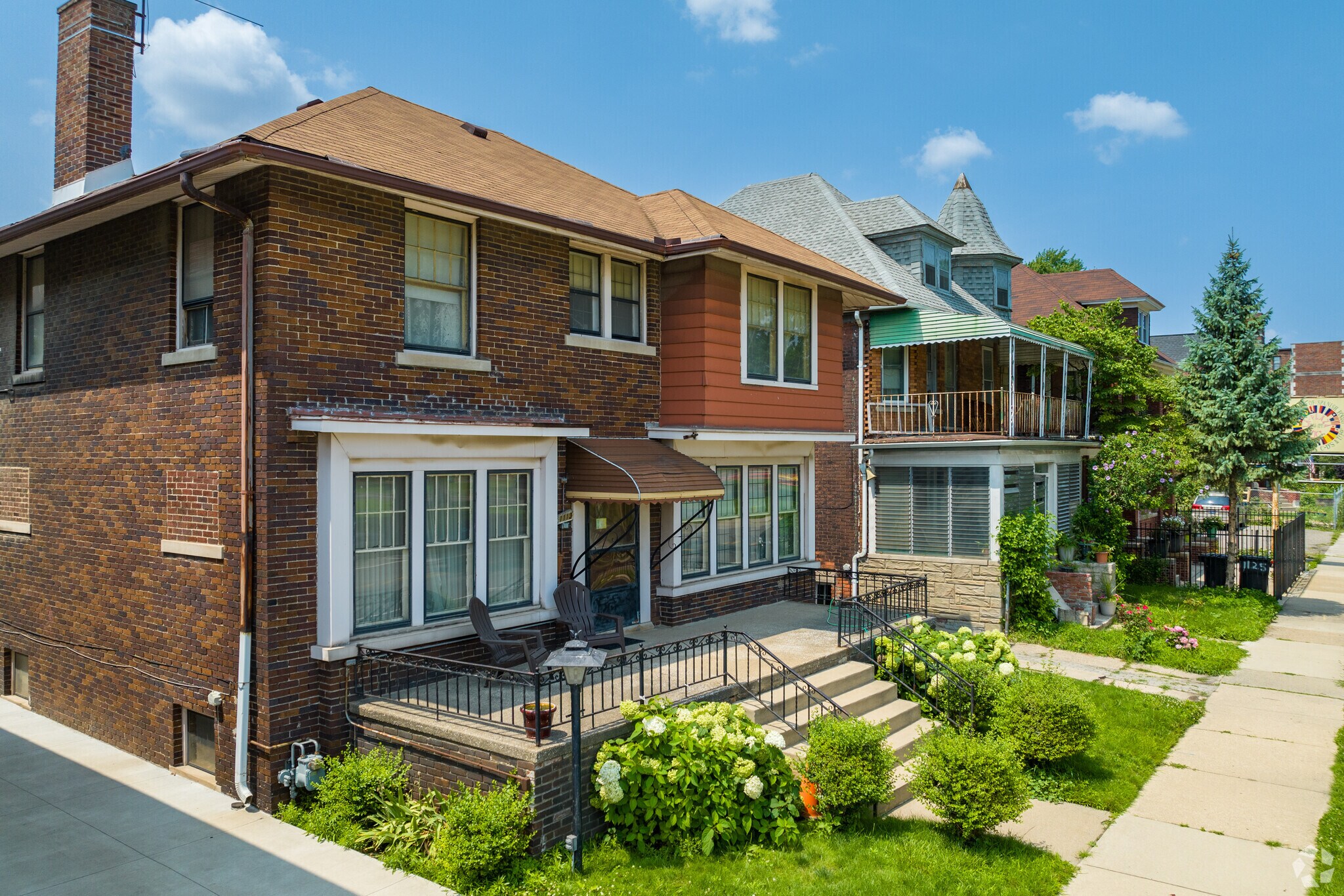
The planning process included extensive community outreach, which took place over several phases from Fall 2019 to Spring 2021
Outreach Milestones:
- November 2019: Project Launch and Public Presentation
- Summer 2020: Plan Packs distribution and resident canvassing
- Fall 2020: Public meetings
- Winter 2021: CAG and CBC Presentations
Key Community Feedback
Community input highlighted several priority areas:
- Environmental Health: Mitigate pollution (19% of responses) and ensure no negative impact on the public or environmental health of the community
- Trucking and Buffering: Truck routes must be addressed, and additional buffering should be installed around industrial areas
- Quality of Life: Residents requested more green space and more recreational opportunities/parks
- Jobs: Increase job opportunities (14% of responses)
Zoning Recommendations
The existing zoning is primarily Industrial (M4) at 65% and Residential at 28% with no industrial screening/buffer or dimensional standards/setback requirements. The plan proposes a new zoning approach.
Transitional Zoning (TM):
- Definition: A special transitional district covering areas that are currently residential but are expected to change over time to a non-residential character.
- Purpose: Protects existing residential development.
- Permitted Use: No new residential development is permitted, but existing residential is still in conformance with zoning. Home improvements, alterations, and possibly additions of a certain size are permitted.
- Industrial Zones: Future zoning recommends Large Scale Industrial (M3 or M4) and Small Scale Industrial (M1 or M2).
Future Industrial Development
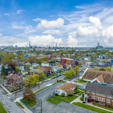
The plan identifies four priority typologies for future industrial development
| Typology | Prioritization Details | Key Requirements/Notes |
| Distribution Center (DC) / Logistics | Driven by geography and access, particularly the Gordie Howe International Bridge (GHIB) and I-75. | Size: >10 acres Buffers: 60-foot buffers adjacent to residential uses. |
| Manufacturing (Auto-related) | Development centers around the existing node of supplier manufacturers. | Future opportunity for riverfront access for Detroiters. |
| Food Distribution / Packing / Growing | Centers around the existing node at the Produce Terminal. | Size: < 5 acres (does not require new construction). Focus on repurposing existing buildings. |
| Custom / Niche Manufacturing | Includes custom garment/cut and sew, PPE, electronics, and beverage/brewery/bottling. | Size: <5 acres (does not require new construction). Focus on repurposing existing buildings and shuttle access. |
Phyto-Remediation and Buffers/Screening
A core component of the framework is addressing environmental and public health concerns.
- Buffering Focus: Buffers are directed and focused along heavily trafficked roadways, such as truck routes and freeways.
- Mitigation: Buffers are designed to mitigated fugitive dust, noise, and vibrations from trucks and vehicles, as well as airborne pollutants.
- Phyto-Remediation: Phyto -forests are proposed to act as buffers both in the interim and post-development. Phyto-remediation uses plants to remove, degrade, or contain contaminants in soil or water.
Future Transportation
Designated Truck Routes and Restrictions
Following the Framework Plan’s recommendations and extensive community advocacy, the City of Detroit has officially implemented a comprehensive truck route policy for Southwest Detroit. The restrictions, which aim to improve air quality and safety by diverting commercial traffic from residential streets, went into effect on Monday, October 6, 2025. City officials are continuing to work on strengthening the ordinance and enforcement measures to ensure full compliance with the new rules.
The key outcomes and relationship to the Framework are:
- Residential Ban: Truck traffic is now prohibited on all residential streets and restricted on key corridors (including Livernois, Dragoon, Clark, and Scotten) that were previously used as cut-through routes.
- Approved Routes: Commercial truck traffic is now strictly limited to major designated routes like Fort Street (M-85), Michigan Avenue (US-12), Dix, and John Kronk.
- Community Preservation: The new policy ensures the goals of the Framework are met by removing the threat of high truck traffic on local streets, aligning with the plan’s proposed exception for the Forman Street area to allow for future park and recreation improvements (stormwater management and nonmotorized boat access to the Rouge River).
Public Transit & Shuttle Route
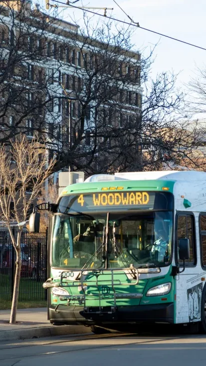
- Public Transit: Proposed DDOT routes will continue to provide multiple routes into and out of the neighborhood, with Fort Wayne potentially becoming a destination.
- Delray Shuttle Route: A rubber tire shuttle service should be considered as a supplement to DDOT and SMART services. This shuttle would provide “last mile transportation” to employment hubs and other destinations for commuters.
Next Steps
The next and ongoing steps for the plan include:
- Outreach: Meeting with residents door-to-door, and hosting Zoom meetings with local congregations and DPS classrooms.
- Documentation: Creating a Citizens Guide Document—a pamphlet that summarizes the framework as a guiding tool for the future of Delray.
- Finalization: The complete framework document was scheduled to be finished by the end of March 2021.
